| Geography |
| climate and regions |
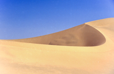
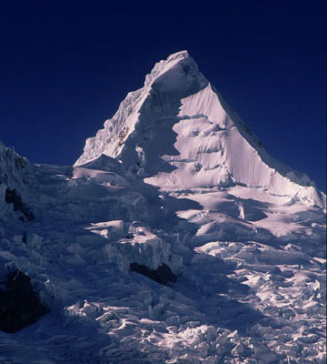
Peru is located on the Western part of South America and is the third biggest country on the continent. It borders Ecuador and Colombia to the north, Brazil to the east, Bolivia to the south, and the Pacific Ocean to the West. The Huascaran is the country’s highest peak, with an elevation of 6,768 metres. The mythical Amazon River, said to be the longest in the world, with the largest water flow, originates in Peru. Peru’s climate is very diverse, with a range from ice cold in the high Sierra (where eternal snow covers the mountain peaks), to the arid desert, tropical rainforests and the sunny weather of the valley. Some cities on the coast are covered by an almost permanent layer of fog six months of the year. Peru is officially divided into 24 departments, 195 provinces and 1.828 districts. The country has three major regions: the coast (Costa), the Andes (Sierra) and the Amazon rainforest (Selva). Costa: More than half of the Peruvian population lives on the Pacific coastline, a narrow strip of land with an arid climate, influenced by the Humboldt Current and with very little rainfall. In the coastal hinterland, most water comes from river oases. Summer, from November to April, brings pleasant warmth. Even though the water is quite cold, a trip to the beach is a very popular weekend pastime. |
 |
|
However, winter in Lima is characterized by an almost permanent layer of fog, and temperatures rise to about 16 degrees Celsius only. |
|